News
Assistance to future artillery reconnaissance men from volunteers
February 10, 2017
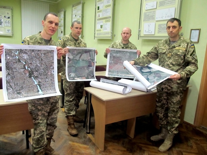
Thanks to volunteers, future officers will use modern topographic site maps in the course of training

Recently, Kyiv volunteer organization “MAP100” has given patterns of processed data of remote sensing of the Earth from imagery intelligence satellites (orthophotomaps) to the artillery reconnaissance faculty of the National Army Academy named after hetman Petro Sahaidachnyi.
Such ground images are used by the units of the Armed Forces of Ukraine that are participating in ATO. The received graphical documents will be used in the training of cadets as well as of officers and sergeants who are undergoing additional training and who are improving their qualification in this educational establishment.